Disney Magic at Sea
0 min read
The Otago Rail Trail was named after the old railway line, built between 1891 and 1907. There are over 20 townships located on and off the trail. The Otago Central Railway was once an economic lifeline for the Central Otago region. Built to connect Dunedin with Central Otago, a thriving gold-mining area, the track took 16 years to complete and was finished in 1907.
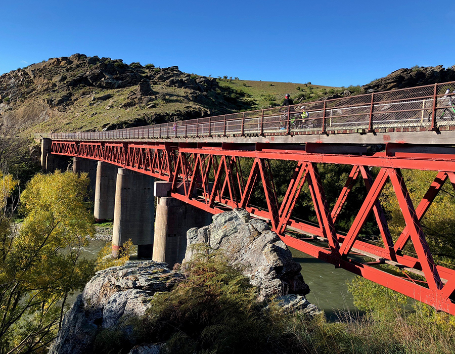
It truly is a testament to human endeavour – the detailed workmanship of the stone bridges and tunnel facings along the trail have stood the test of time and the mountains still bear scars of the races, built back in the 1860s to bring water to the long-gone gold mines.
Steam trains chugged along this railway line for 83 years, but once the roads were improved and the gold rush was long over, the line was officially closed in 1990 and the railway tracks removed, leaving a long, relatively flat path through Central Otago.
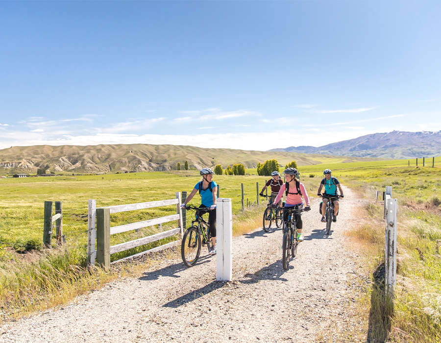
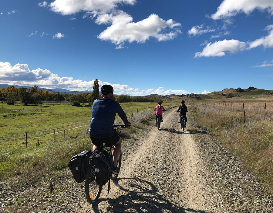
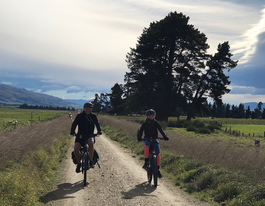
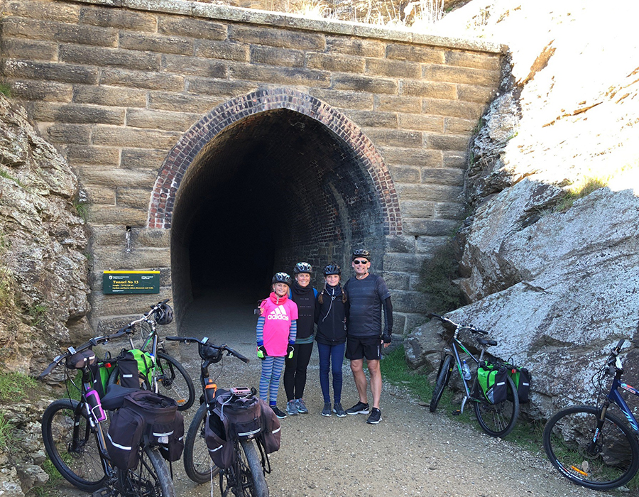
As you ride along it you’ll see countless reminders of the railway and associated gold rush, including long, dark tunnels, trestle and stone bridges, abandoned gold diggings and remains of mining machinery, old stone and mudbrick dwellings and preserved gold-mining settlements.
The Otago Central Rail Trail was established in 1994 and officially opened in 2000 by the Governor General Sir Michael Hardie Boys. In 2012 it became part of the New Zealand Cycle Trail.
Note: For $10 you can buy a special Rail Trail Passport and have it stamped at towns along the way, to prove you rode the entire trail. The kids enjoyed doing this.

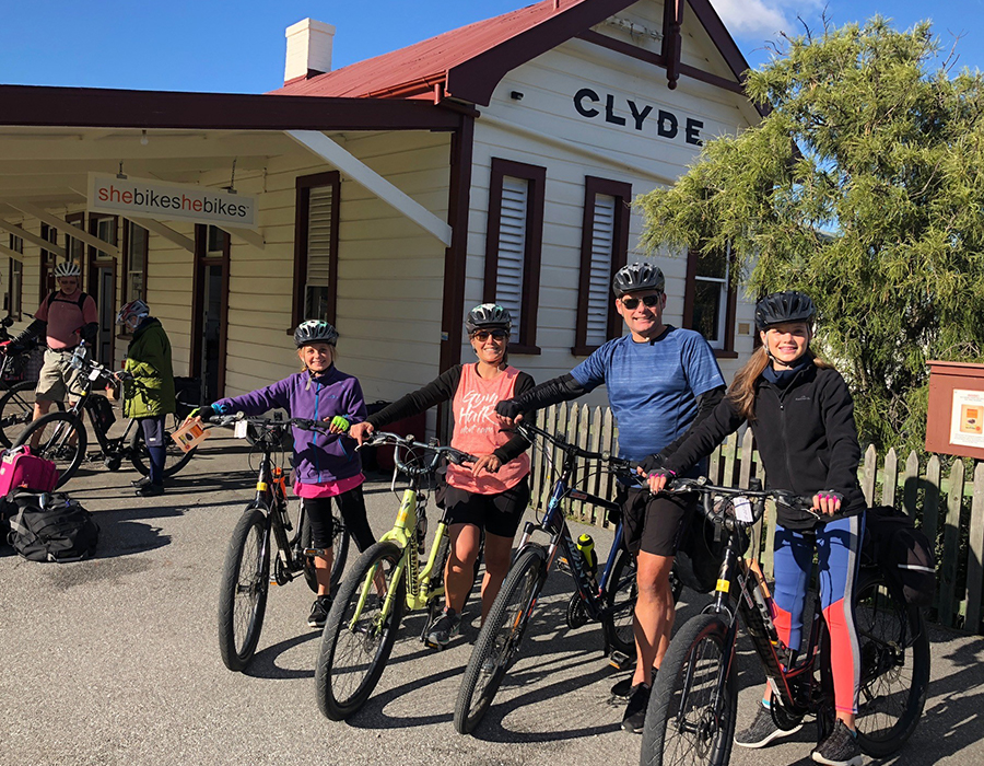
Make sure you visit the historic Clyde township before you start at the railhead for the trail. This section is flat and a good way to get settled in the saddle. The main feature is the wooden Muttontown Viaduct.
The trail is a couple of kilometres from the retail and service part of Alexandra so if you need to shop there do allow time. Alexandra is the largest town on the trail and is fully serviced.
Heading north, this section follows the Manuherikia
River which flows south to join the mighty Clutha.
The trail traverses the farming area of Galloway
and is completed at New Zealand’s best small hotel
(2013) at Chatto Creek, which also has New Zealand’s
smallest operating post office.
**Chatto Creek LUNCH STOP**
Ride up Tiger Hill on a sweeping rise crossing the state highway twice. Enjoy the views and the ganger shed information boards along the way. Then you have a straight descent into Omakau, a town with most services.
A side trip to historic Ophir and the 1880 suspension bridge is worth the additional few kilometres. **Overnight Wilsons, Omakau; Dinner at Commercial Hotel – 5.45pu**
Omakau to Lauder, (Grade 1 Easiest) 7km
Past newly established dairy farms and more intense irrigation, Lauder has accommodation, a hotel and a café. It also has a NIWA weather base.
There is a gentle rise north into the Poolburn Gorge with its two tunnels. Then it is a straight ride up the Ida Valley past historic Hayes Engineering. This is a popular day trip section of the trail. ** Lunch at Oturehua **
Oturehua boasts Gilchrists general store, which is still set out as it was 100 years ago, and a hotel.
Immediately you are offered a diversion to Golden Progress Mine where there are gold-mining remains and a stamper battery.
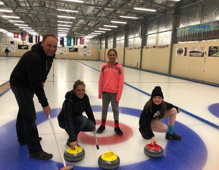
Then it is a slow climb out of the Ida Valley to the highest point of the trail before you start swinging east into the Maniototo. Wedderburn has pub food and accommodation. A popular diversion is to St Bathans. **Curling 6pm; Dinner 7.30pm & o/n Ancient Briton**
Easy riding east across the open Maniototo Plain to the second biggest service town on the trail. Consider a diversion to Naseby to try indoor curling or mountain bike tracks.
Easy downhill ride to small rural township with hotel and some accommodation. Great fly fishing available in the Taieri River. **Lunch Waipiata**
The trail now leaves the Maniototo through the upper Taieri Gorge, following the river. Kokonga and Tiroiti have accommodation available and some nice picnic sites.
Flat, easy riding with a viaduct and tunnel makes this section a perfect one-day taste-tester. Hyde has accommodation and fuel. **Dinner & O/N at Hyde School**
An easy downhill ride south, unless a southerly is blowing, into the Strath Taieri valley. The Rock and Pillar Range is on your right.
The end of the trail is also the terminus for the Taieri Gorge Railway. A walk around New Zealand’s only inland salt lake to the south of the valley is a nice time-filler.
**Train departs Middlemarch 1pm, arrives Dunedin 3.25pm**
Whatever your travel desires, the dedicated Travel Planners at Shore Travel are here to help you explore and discover your own world of possibility.